 |
| Standing with a participant of Chhadi Yatra 2017 at ShriKhand Kailash, 2017 |
Hi,
This is the time of the year when you can hike the steepest treks and reach the mountain peaks, which are ice cladded throughout the year. July is the month when people take the arduous journeys to reach the Kailash peaks devoted to the lord Shiva, the Mahadev.
Recently at the end of the first week of July, I did what I have been planning since last one year. Same month, last year, I hiked along a 17 kilometers trek to reach the Manimahesh Kailash in Chamba, and I enjoyed it so much that, then and there I wished of climbing to another Kailash Parvat(Mountain.)
 |
| Manimahesh Lake and Kailash, July 2016 |
I couldn't do it that time, because of unpreparedness of my body. That thought remained with me throughout these 12 months, and finally this month I reached the ShriKhand Kailash peak. It has an elevation of around 5200 metres from the Mean Sea Level.
Brief Introduction
Almost at 1000 metres higher elevation than the Manimahesh Lake(4300 metres,) ShriKhand Kailash is very much different in terms of the trek length, the steepness of the trek, the ice glaciers, and the connectivity with the world.
 |
| A downward view up from close to Nain-Sarovar, Shrikhand Kailash yatra 2017 |
Shrikhand Kailash lies in the Kullu district of the Himachal Pradesh, and you can climb from three different locations.The other two being very difficult most of the pilgrims hike from Jaon in Nirmand tehsil of Kullu.
Preparations:
Please note that this trek is almost 35-40 kilometers long on one side, and it is near about 90 degrees ascend at more than 60% of the trek length, and this is the reason that this trek is known as the toughest trek of the India.
Other may suggest that it is less than 30 or more than 40 kms, but mind that the hike is not on the smooth floor and neither is it straight. One has to climb the big boulders and serpentine ridges. Don't underestimate or overestimate.
Other may suggest that it is less than 30 or more than 40 kms, but mind that the hike is not on the smooth floor and neither is it straight. One has to climb the big boulders and serpentine ridges. Don't underestimate or overestimate.
Do's
- Attempt only if you are in good shape and strength. If you want to attempt, please start running and other exercises months ahead.
- Do not take the chance with the altitude sickness, it can take your life. If you are not accustomed to higher altitude the lack of oxygen can be a very big problem, therefore either must have already trekked up to elevations above 4500 metres or take 3-4 days night halts at different locations along this trek. These halts will allow your body to acclimatize to this higher elevation climate.
- Diamox is a must, because altitude is very high and you must not take chances with your body. Take one tablet, one day prior to the day you will reach the top. You may not need it if you already have been at such heights.
- Take warm clothes with you, assume that it is a cold winter season up there, and it really is.
- Keep a cash of about 4-5 thousand rupees for buying the camping and food facility along the trek.
- Always keep a water bottle of about 2 litres with you, you will not get any water in the last 5-8 kilometers of the steep pebbled trek. You will get ice, but it does not melt in the bottle and it is harmful to eat it.
- Keep the dry fruits with you, such as almonds and cashew nuts, they are your light weight energy packs.
- Keep the rain coat with you, also can take the umbrella, but that can become inconvenient to engage one hand to hold it, or resist the fast blowing winds.
- Sun-glasses and sun screen cream are also required, else just like I got it, you may get the sun-burn on your face.
Don'ts
- Please don't litter the place with plastic bags or bottles, carry them back with you and dispose them in dustbins or give them to the local shopkeepers to dispose.
- Don't hurry, keep a pace which becomes a rhythm of your heart, whenever you feel uncomfortable with the breathing, please do take rest, it is not a competition. Have a sip of water, catch your breathe and then start again.
How to Reach
To reach Nirmand, come to Shimla either via bus, train or Air-plane. Then go to Nirmand(very close to Rampur,) via bus or your private vehicle. Travel another 12 kilometers along a single lane road to reach Jaon. Jaon is a small village from where you can use only your feet.
Park your vehicles at Jaon, a motor-cycle and helmet can be parked safe at the shop adjacent to the road, I paid 200 rupees.
Trek From Jao to Shrikhand Kailash
Intial 8 kilometers trek from Jaon up to the Barathi Naala forms a sine wave, with ups and downs, and is mostly gentle. The 90 degrees ascent starts and ends at Kaali Ghati after a distance of about 10-12 kilometers.
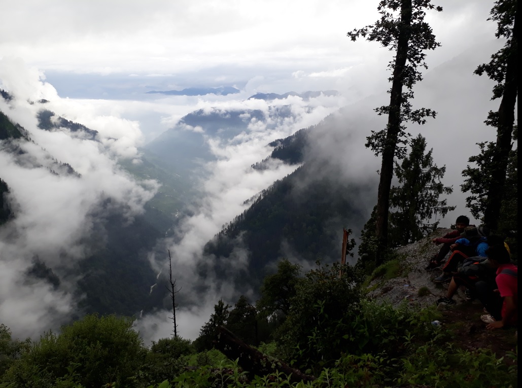 |
| View Barathi Naala from the trek reaching up to Thachru, Shrikhand Kailash yatra 2017 |
This is the most difficult part, as considered by many, but thankfully you get to rest at the local tent shops and also can take a comfortable night halt at Thachru, at about 8 kilometers up from Barathi Naala.
Boards suggest it only to be a 5 kilometers of hike, but the legs and mind suggest differently, not less than 8 kilometers. You will not get any phone signal till Thachru, so inform your loved ones well in advance.
Signal may or may not be there at Kaali-ghati and Kunsha, the halt point at further along the trek.
I got JIO signal at Kaali-ghati and Thachru only, not at Kunsha.
From Kaali-Ghati, at around 3900-4000 metres elevation, you have to take a descent of about 2-3 kilometers to reach Bhim Talai at about 3700 metres elevation.
I got JIO signal at Kaali-ghati and Thachru only, not at Kunsha.
From Kaali-Ghati, at around 3900-4000 metres elevation, you have to take a descent of about 2-3 kilometers to reach Bhim Talai at about 3700 metres elevation.
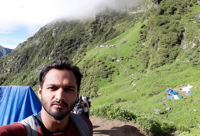 |
| Temporary tents and camps, on the way to Kunsha, Shrikhand Kailash yatra 2017 |
With other so many sine waves of ups and downs, another 8 kilometers takes you up to Bhim Dwar at around 3800 metres of elevation. After the Bhim Talai, Bhim Dwar was my second halt.
In between, you can take a night halt at Kunsha, where there is the possibility of getting signal into your cell phone.
One can climb up to Parvati Baag which is at higher elevation at around 4200 metre. They charged us 300 rupee per person for night stay with one time meal at night.
 |
| Inside a typical temporary tent, on the Trek to ShriKhand Kailash - July 2017 |
They gave two blankets, but if less people are there, you may get three or four also. At least two night halts are must for the acclimatization.
Up to Parvati Baag one can find the carpet of the grass and flowers, but above that the mountains are covered with stones and pebbles up to Nain Sarovar. Start early in the morning from Bhim Dwar or Parvati Baag.
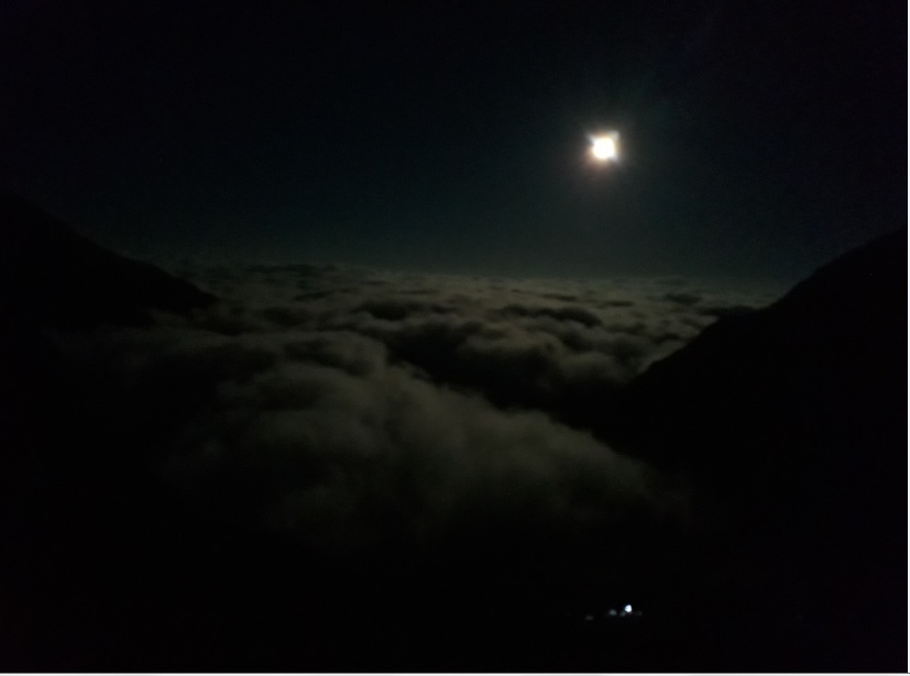 |
| A bright moon shining upon the white clouds at 4:00 AM on 9th July 2017 - Shrikhand Kailash Yatra 2017 |
I and two of the new found friends, Naren and Rahul, we started at 4:00 AM in the morning from Bhim Dwar, the moon was shining bright, and the clouds appeared as if the Inder-darbar from the old DD1 serials.
At around 5:00 AM I reached at Nain Sarovar. Please mind that I have done a number of treks in Himachal Pradesh, so time is a relative term here.
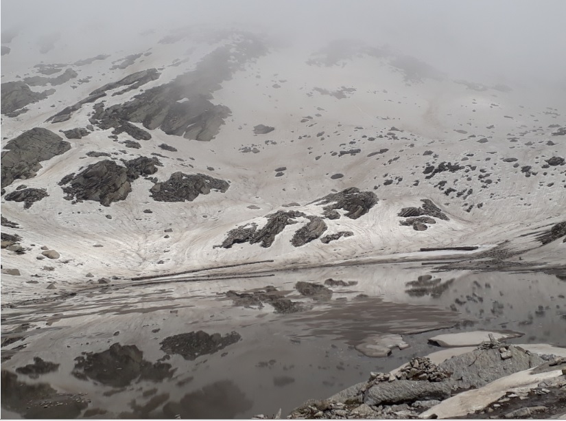 |
| Nain Sarovar - a close view - ShriKhand Kailash Yatra 2017 |
It depends from person to person. After Nain Sarovar starts the most arduous part of the trek. Very steep, narrow and glacial with deep gorges on both sides, stoned and curved path tests your balance, acrobatic skills and mind strength.
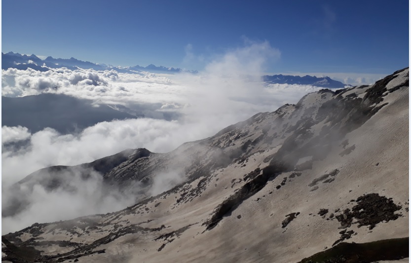
Keep the water at your hand's reach and keep taking the sips. You don't know how fast you get dehydrated at heights, so make it a rule to take another sip after 15-30 minutes.
 |
| A click with newfound friends - Shrikhand Kailash Yatra 2017 |
Clouds and rains are very common part of the climate up there, so wear the raincoat whenever needed. To have the video experience of the Kailash, please watch the following videos.
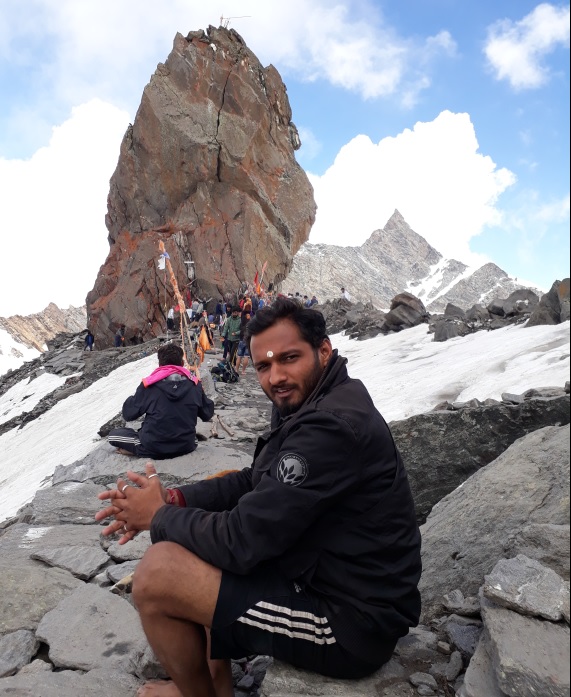
Descending from Shrikhand Kailash
Keep a stick in your hand if possible, reason is that the knee joint may give you a pain that you have never felt before. Just as the ascent is at 90 degrees and along the stones and glaciers, the descent can be more painful than the ascent.
Reason is that while descending the knee coil has to bear a force of almost three times our body weight.
A hand stick helps a lot in such condition. You won't reach anywhere near to Jaon on the same day. Take the night halt where-ever you can reach, either at Bhim Dwar, Bhim Talai, Kunsha or Thachru.
Take two or three night halts if you can't descent fast, it is okay to listen to your body. Reportedly, last year 4 people died, and in the year previous to that 6 people have died. So, don't play around, it is not the place.
Just keep hailing the lord Shiva in your head, keep saying JAI SHIV SHANKAR, BUM BUM BHOLE, JAI BHOLENATH..
JAI BHOLE!
No comments:
Post a Comment